


 |
|
|
Don't forget to publish your favourite biking roads. |
You can create custom roadbooks based on these roads by using software Motorbike-Roadbooks. For a first use, you can have a look at the tutorial.
Amazing trip along the northern and eastern Sottish coast, starting from Tongue. Here shall you first ride on its 'kyle', and then use a single track road to reach Durness. It's the most interesting part.
After, going towards Ulapool, road is then wider, but with interessing pass-like uphills.
This road is a must-do, so...you must do it !!
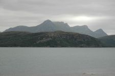 | 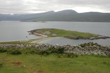 |
| Kyle of Tongue | Heilam Island |
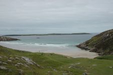 |  |
| Chaireag Beach | |
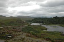 | 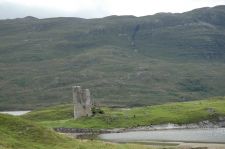 |
| Kylescu bridge | Ardvreck castle |
153.8 km (about 2 h 15 min)
| Stage | Distance | Zoom crossing |
Research radius : 100 km
| Length | Distance / Active road | Mark |
| Isle of Skye | 181.3 km | 77 km | 3.5/5 |
| Northern Scotland (Alness - Tongue) | 107.2 km | 0 km | 3.3/5 |
Research radius : 100 km
| Type | Distance / Active road | Mark | Zoom |
| Gruinard bay camping | Camping | 22 km | 3.5/5 |
|
There is 1 opinion about this road.
Author marks : Thomas |
|
General mark : 2.8/5 |
Surfacing : 2.5/5 |
Curves : 2.5/5 |
Lanscapes : 3.5/5 |
Speed controls : 3/5 |
Traffic : 2/5
|
Name : Alcatraz |
Date : december 04th 2010
|
One of the best roads in uk |
|
