


 |
|


Where to sleep on trip :
You will find on Trackandroad some photos or others with the following icon : ![]()
It's a link to a .kmz file, in which are registred GPS coordinates on Google Earth format.
To summarize, set up Google Earth, and click on the link to go to the placemark. If you need additional information, please read the help here above.
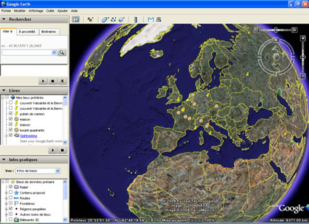
It's an interactive program on which you can see satellite or aerian view of any place in the world, with the help of a very intuitive interface.
Here : http://earth.google.com/download-earth.html
A .kmz file is a google-earth format file, including GPS coordinates of a placemark, and additionnal informations like the way the placemark will be shown (altitude, tilt).
A .kmz file is for Google Earth what a .pdf file is for acrobat reader. So you just have to set up the program on your computer if you haven't done it already. Then, in most cases, you just have to click on the link to go directly to the placemark. If that doesn't work, set up Google Earth as default program for .kmz files. The last solution is to save the .kmz file on your disk and to open it from the software with a file-> open.
Here it is : http://earth.google.com/support/
